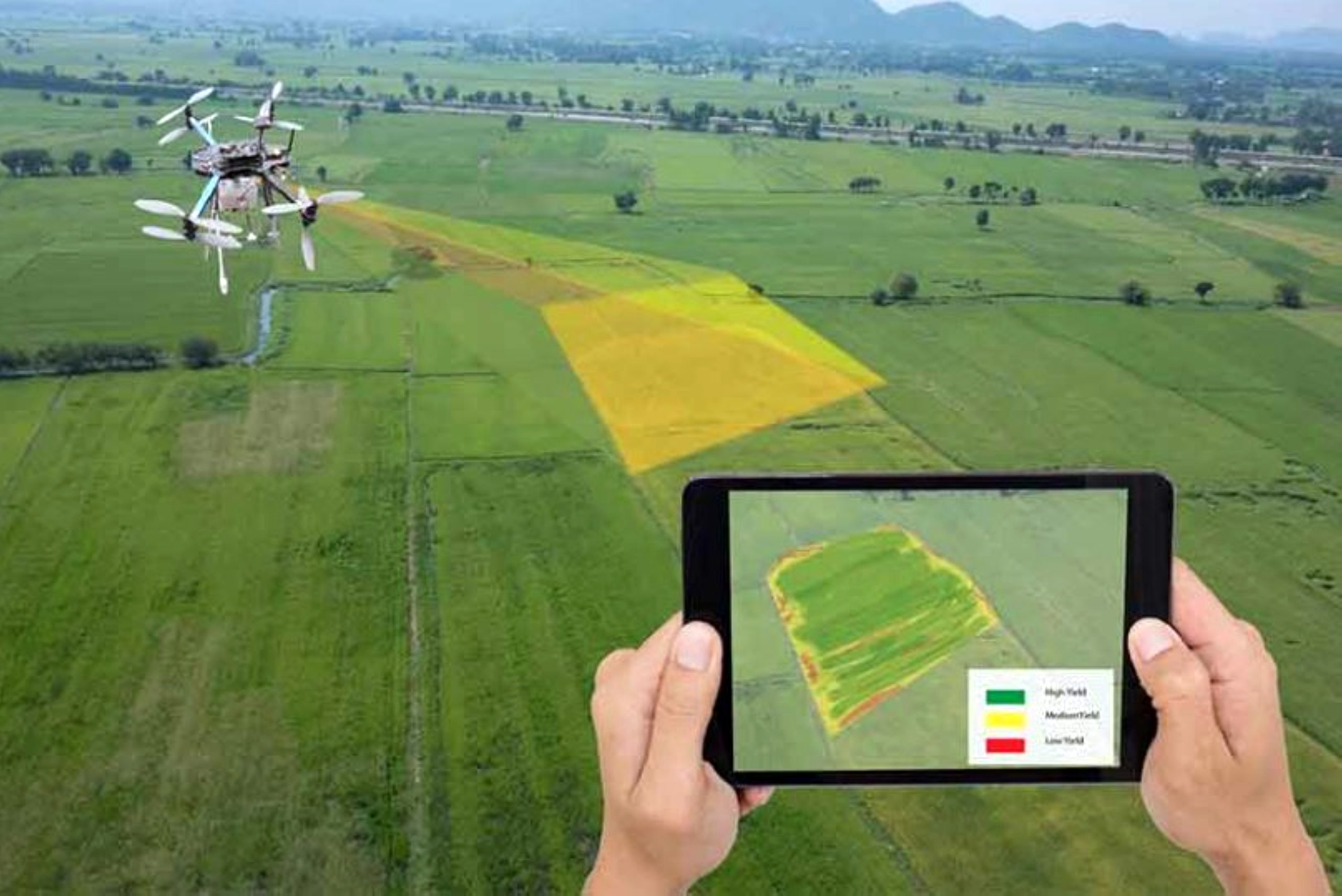
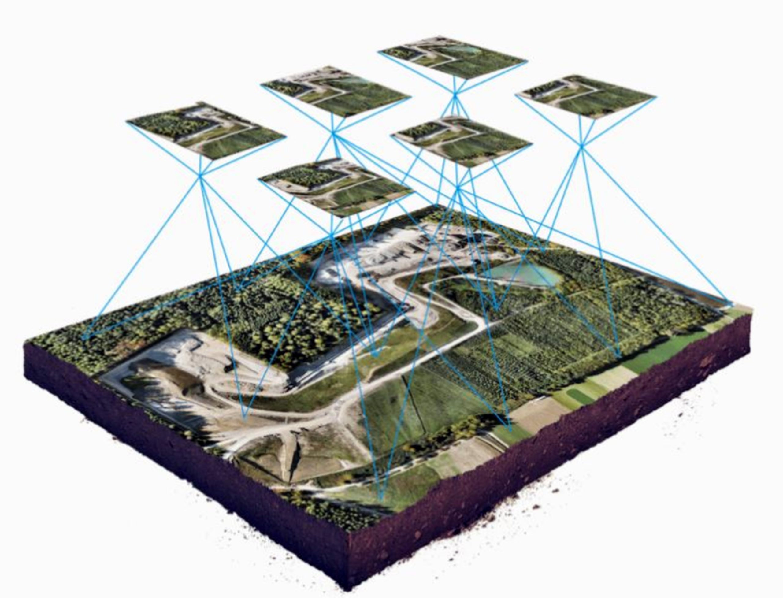
We use Drone mapping to solve clarity issues. A highly detailed aerial map allows for insight into the property details without requiring a client to be there in person. And with our help – licensed land surveyors, contour lines and accurate borders can even be overlaid onto the imagery.
Drone surveys are a faster, safer and more cost-efficient way to survey at height.


Drone Services